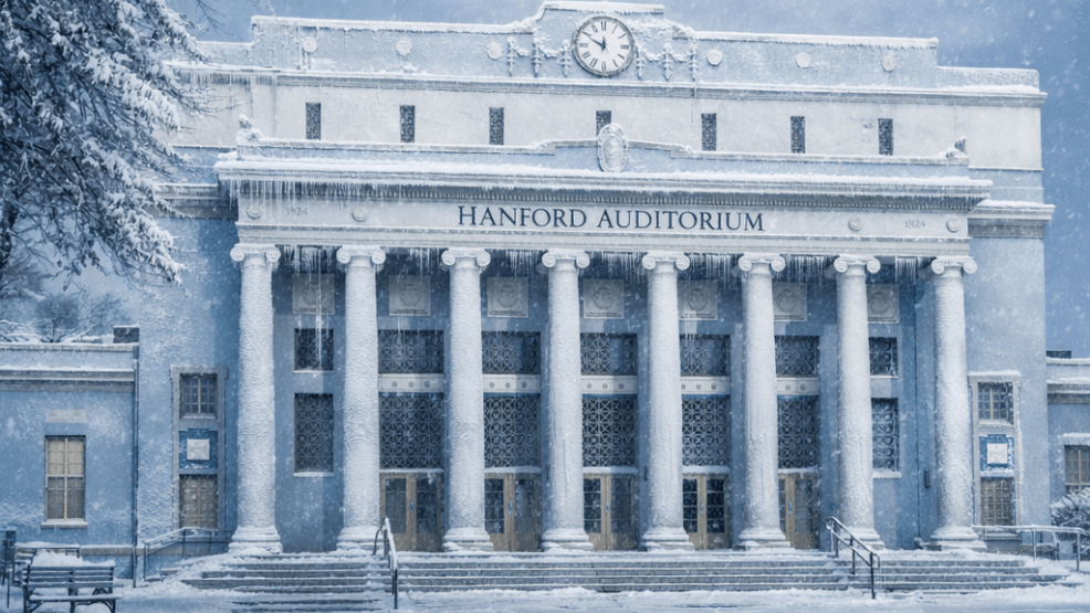
Hanford has set a new temperature record, highlighting a broader period of unusual cold across large parts of the United States.
The National Weather Service in Hanford said the city recorded its longest stretch on record of daytime high temperatures at or below 45 degrees Fahrenheit.
From December 5 through December 15, the Hanford Municipal Airport logged 11 consecutive days with highs no warmer than 45°F.
The previous record was nine days, set in December 2022 and January 1999.
The record in California’s Central Valley comes as wide areas of the continental United States have experienced temperatures well below seasonal norms over the past two weeks, prompting closer scrutiny of whether the country is undergoing an unusually cold period or a short-term weather anomaly.
Across much of the Midwest, Northeast, Plains, and parts of the South, temperatures have consistently fallen below historical averages. Numerous locations have recorded record low temperatures or record-cold daytime highs, with the persistence of the cold distinguishing this period from more typical early winter variability.
Widespread temperature anomalies
Temperature anomaly data over the past two weeks show much of the central and eastern United States running significantly colder than normal for early December. In many states, daily average temperatures ranged from 8 to 15 degrees Fahrenheit below long-term averages.
Unlike brief cold snaps, this pattern has remained largely stationary. Daytime temperatures struggled to rebound even under clear skies, while overnight lows repeatedly fell well below freezing. The result was a sustained cold environment affecting tens of millions of people simultaneously.
Energy demand rose sharply as heating use increased, while prolonged freezes affected agriculture, transportation, and local infrastructure in several regions.
Record lows and suppressed daytime highs
The cold has been notable not only for overnight lows but for unusually cold afternoons. Record-cold daytime highs were logged across parts of the Midwest and Northeast, signaling the depth and persistence of the cold air mass.
In several cities, daytime temperatures failed to rise out of the teens or low twenties for consecutive days. Some of the broken records dated back decades, underscoring how uncommon such conditions are for early December.
Hanford’s record reflects a different but equally notable dynamic. Rather than extreme overnight lows, the city experienced a prolonged lack of daytime warming. Central Valley winters often feature cool mornings followed by moderate afternoon temperatures, but persistent fog and stagnant air during this period kept highs suppressed for nearly two weeks.
Atmospheric pattern behind the cold
Meteorologists point to a large-scale shift in atmospheric circulation as the primary driver of the cold. A deep trough in the jet stream allowed Arctic air to move southward and remain entrenched across much of the continental United States.
Repeated reinforcements of cold air prevented meaningful warmups. In northern regions, snow cover further amplified the cold by reflecting sunlight and limiting daytime heating.
At the same time, parts of the western United States experienced relatively mild conditions, creating a sharp east-west contrast. California’s Central Valley diverged from the broader western pattern due to local atmospheric inversions that trapped cold air near the surface.
Regional impacts
The Midwest and Great Lakes region experienced the strongest cold anomalies, with extended subfreezing conditions becoming the norm. Snow cover deepened across several states, reinforcing cold temperatures and increasing travel hazards.
The Northeast saw early-season cold that disrupted travel and drove up heating demand. Several major cities experienced some of their coldest early December days in years.
Cold air extended unusually far south, with freeze warnings issued across parts of the Southeast and Gulf Coast. These conditions posed risks to agriculture and infrastructure in regions where sustained cold is less common.
In California, coastal and southern areas remained comparatively mild, while the Central Valley stayed locked under fog and cold air. Hanford’s record illustrates how localized atmospheric conditions can produce prolonged cold even when nearby regions remain warmer.
Historical context
From a historical standpoint, the past two weeks rank among the colder early December periods seen in the United States in recent decades. While not all locations set all-time records, the geographic breadth and duration of the cold make it significant.
Climate data continue to show that long-term average temperatures across the United States have trended upward. However, short-term variability remains a defining feature of the climate system, and intense cold outbreaks continue to occur.
Weather versus long-term trends
Meteorologists emphasize the distinction between short-term weather events and long-term climate patterns. A sustained cold spell does not, by itself, indicate a long-term cooling trend.
Instead, the recent period reflects the continued capacity for Arctic air to penetrate deep into the continental United States under certain atmospheric conditions. These events can occur even amid broader warming trends.
Outlook
Forecasts suggest the current cold pattern is likely to ease as atmospheric circulation shifts and milder air moves eastward. Temperatures are expected to moderate in many regions, though winter conditions are likely to persist intermittently.
For communities such as Hanford, the recent record serves as a reminder that prolonged cold remains possible even in regions not typically associated with severe winter weather.
Conclusion
The United States has experienced a notable and sustained cold spell over the past two weeks, marked by widespread temperature anomalies, record-breaking cold highs, and prolonged below-average conditions.
Hanford’s 11-day stretch of daytime highs at or below 45°F stands as a local benchmark within a broader national pattern of persistent early-winter cold. While the episode does not signal a reversal of long-term climate trends, it highlights the continued impact of extreme cold weather across the country.
Discussions are powered by Facebook. Community standards apply. Comments attacking Kings Network News, its publisher, staff, or contributors may be removed and may result in loss of access.


